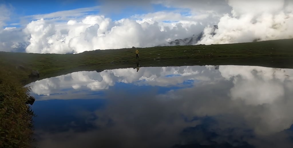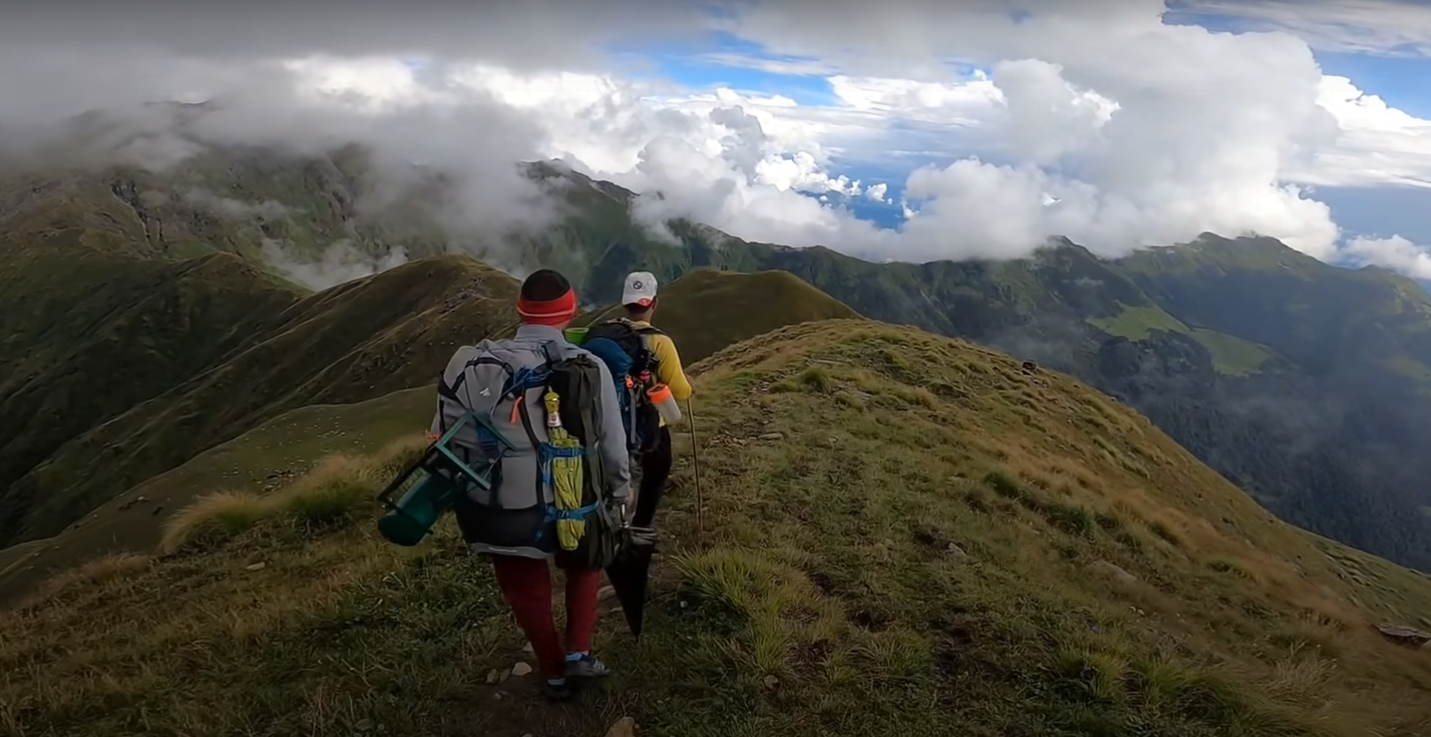


Uttarakhand, a land of majestic peaks, pristine valleys, and untamed wilderness, is a mecca for hardcore adventure trekkers seeking to push their limits and conquer the most challenging trails. From the rugged Kumaon Himalayas to the serene Garhwal region, this northern Indian state offers a plethora of treks that will leave even the most seasoned trekkers craving for more. In this blog, we’ll explore the best treks in Uttarakhand that will ignite your adventurous spirit and leave you with unforgettable memories.
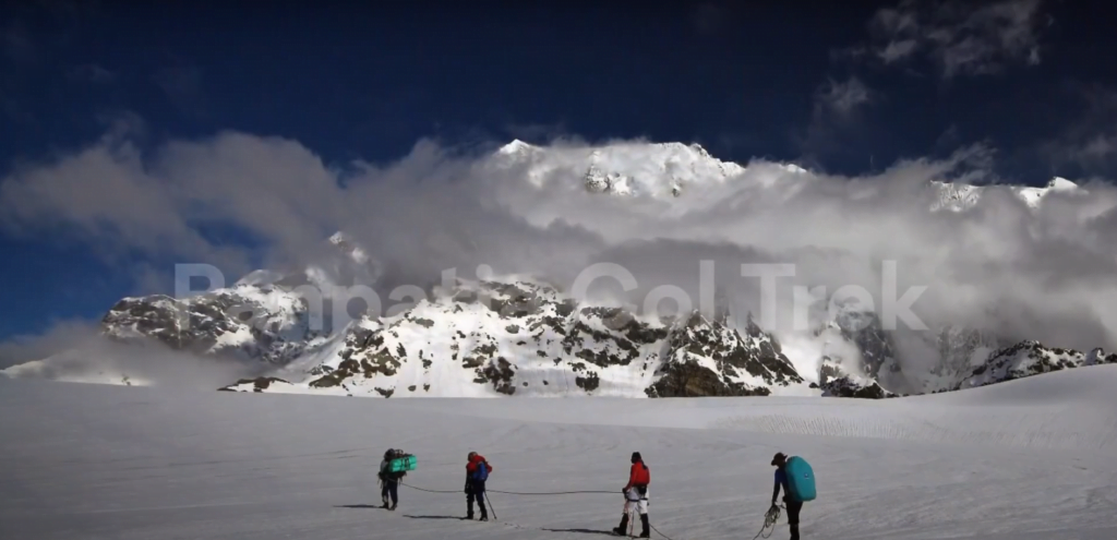
The Panpatia Col trek is one of the most challenging and demanding treks in the Garhwal Himalayas, connecting the holy pilgrimage sites of Badrinath and Kedarnath. It is a level 6 adventure on the Bikat Rating Scale, requiring high-altitude experience of preferably multiple treks marked at level 5.
The trek takes you through the heart of the Himalayas, offering unparalleled views of prominent peaks such as Neelkanth, Balakun, Sri Parvat, Kunaling, Hathi Parvat and Dhauliganga Peaks. The route unfurls the raw beauty of the core Himalayas, walking parallel to the Panpatia glacier and crossing the Panpatia Col at an elevation of 5,200 meters.
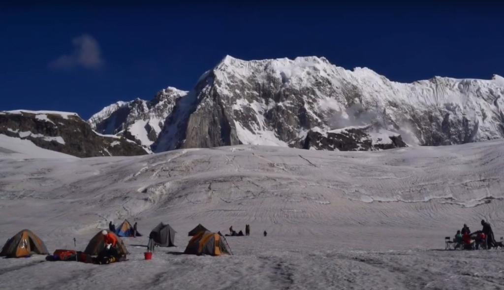
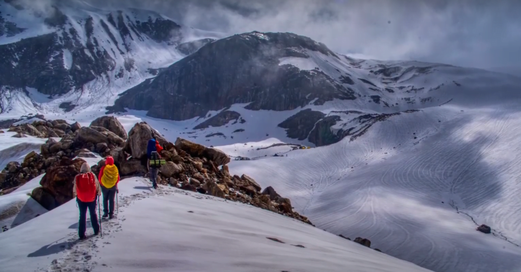
The trek is a tale that has drawn feted explorers like Meade, Shipton and Tilman, Martin Moran, and Harish Kapadia. It requires mountaineering skills to navigate through the drifts of moraines, crevasses and massive icefalls. A trekker must have completed at least 4 high altitude treks going above 4,500 meters and a minimum of 2 difficult grade treks reaching beyond 5,000 meters to attempt this trek
The Thalay Sagar trek is a challenging expedition to the base camp of the majestic Thalay Sagar peak (6,904 m) in the Garhwal Himalayas of Uttarakhand, India. The trek takes you through beautiful birch forests, crossing glaciers, and navigating steep, rocky terrain.
Key highlights include:
Trekking through the Bhoj (birch) forest to reach Bhoj Kharak campsite (3,760 m)
Crossing the Kedar Kharak glacier to reach Kedartal lake (4,750 m), with stunning views of Thalay Sagar and Bhrigupanth peaks
Exploring the Kedar Bamak glacier beyond Kedartal
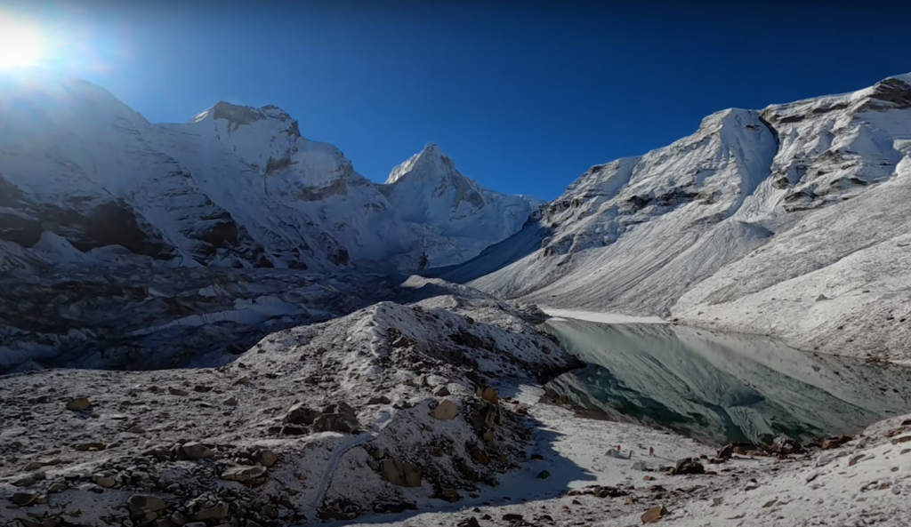
The trek involves significant altitude gain, with some sections of the trail being very steep and rocky. Proper acclimatization, preparation, and experienced guides are essential for this challenging expedition
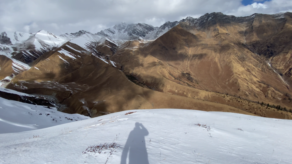
Gidara Bugyal is a stunning high-altitude meadow located in the Uttarkashi district of Uttarakhand, India. It is situated at an average elevation of 4,309 meters (14,137 feet) in the Garhwal Himalayas.
The trek to Gidara Bugyal is a challenging one, covering a distance of around 28 km from Bhangeli, which is about 50 km from Uttarkashi. The trek passes through forests, rivers, smaller meadows, and snow bridges before reaching the grand meadow. It is considered a secluded and exclusive trek due to its high altitude and difficulty.
The best time to visit Gidara Bugyal is either in June, when some patches of the land are covered with snow, or in September, when the snow has melted. The region remains inaccessible during the winter months due to the trek route being covered in snow
One of the highlights of the trek is the ridge walk from one end of the meadow to the other, which can take up to 4 hours. The meadow is also known for its vast expanse of lush green grass and clear views of nearby Himalayan peaks like Bandarpunch and Gangotri.

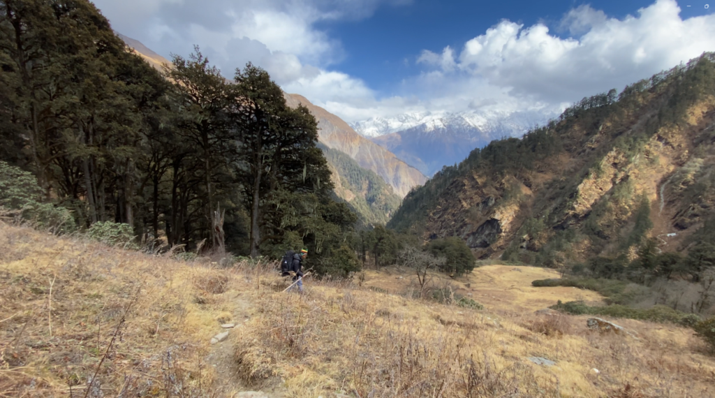
Despite its beauty, Gidara Bugyal is a lesser-known trek due to its high altitude and difficulty. It is considered one of the highest and largest high-altitude meadows in Asia, larger than the twin meadows of Ali and Bedni Bugyal.
The summit of Pangarchulla Peak stands at an elevation of 15,069 ft (4,590 m), making it a demanding climb. The trek involves a continuous 10-hour ascent from the Khullara campsite to the summit, traversing snow, boulders, and steep terrain.
To attempt this trek, trekkers need prior high-altitude trekking experience, as the altitude, terrain, and nature of the climb require a certain level of skill and fitness. The trek is rated as “Difficult” and is considered a good preparatory peak for those interested in climbing bigger Himalayan mountains.
The trek starts from Auli near Joshimath and passes through the Nanda Devi National Park, offering stunning views of the Greater Himalayan Range, including peaks like Nanda Devi, Chaukhamba, Hati-Ghori, and Barmal.
The summit day is the longest and toughest part of the trek, with trekkers leaving the Khullara campsite around 3 AM to reach the summit by late morning. This section involves a steep ridge climb and traversing snow-covered slopes, which may require manual snow clearing at times.
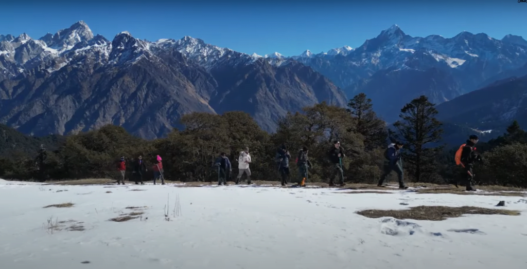

Bisuri Tal is a high-altitude lake located in the Mandakini valley near Chopta, Uttarakhand at an elevation of around 12,000 feet (3,658 meters). Perched at a height of 4,000 meters, it is a hidden trekking destination in Uttarakhand that not many trekkers are aware of due to its relative obscurity.
The trek to Bisuri Tal starts from Chopta, the last drivable road. The trail passes through dense forests, undulating meadows, and offers stunning views of the Himalayan peaks including Mt. Chaukhamba. Bisuri Tal itself is a small pond of about 100-150 meters in diameter situated in the middle of the meadows next to Kshetrapal Mandir.
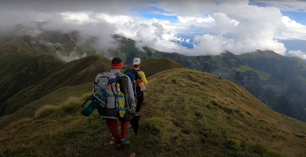
The trek is considered adventurous with a steep ascent through thick forests and narrow trails with steep gorges on one side. However, the rewards of the trek include terrific summit views, untouched meadows, and a chance to spot rich wildlife like Himalayan Monals and barking deer.
